
Walk a Carrollton Street
A sound street-by-street search separates ownership from occupancy. Carroll County publishes present assessment and parcel evidence, while the Superior Court Clerk records deeds. Neither source proves that every owner lives at the site. A county voter extract can add dated residence evidence, and a reverse directory may name a past occupant when a local volume survives. Work from the address outward and save each stable key, especially the parcel number, deed book and page, and record date.
- Enter the location address in Carroll County qPublic. Copy the owner, situs address, mailing address, and parcel number.
- Open the map and inspect parcels on both sides of the Carrollton street. Record parcel IDs before collecting names.
- For lawful personal research, order the proper voter file and filter its residence-address fields by normalized street name.
- Use the parcel legal description or recorded reference to reach the Superior Court Clerk's deed index and trace transfers.
- Ask UWG Special Collections or Neva Lomason Memorial Library whether a reverse volume covers the needed year.
A house number can be entered in several ways, and a Carrollton mailing label may cover land outside city jurisdiction. Parcel geometry and the legal description keep the search tied to the right land.
Search Carrollton Property by Address
The Carroll County qPublic system is the strongest first stop for a current Carrollton street directory search. It exposes the assessment record and parcel map in one system. Search the situs, which means the physical property address, rather than assuming the owner's mailing address is the same. If an exact address fails, remove a street suffix or direction and try a shorter form. Owner-name and parcel-number modes provide useful checks.
| qPublic field | Input | Required | Local search use |
|---|---|---|---|
| Owner Name | Text | One criterion | Try surname and variants |
| Location Address | Text | One criterion | Search situs; relax suffix if needed |
| Parcel Number | Text | One criterion | Best exact key after a match |
| Advanced or Map Search | Map controls | No | Browse adjoining parcels |
A typical card reports owner, mailing and situs addresses, parcel number, legal description, values, acreage, use class, sales history when loaded, and building characteristics. Treat it as a dated tax record, not a household list.
The Georgia Department of Revenue portal list identifies the county's property-search route.
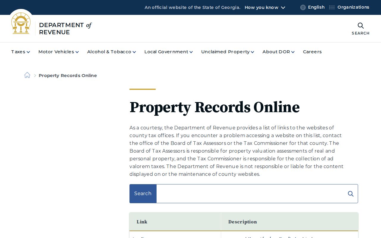
The state list and the Carroll County Tax Commissioner quick links can point back to Carroll qPublic if a saved vendor link changes.
Map Carrollton Parcels by Street
The qPublic map turns one result into a careful street browse. Click neighboring polygons and log their parcel IDs, then compare the situs values shown on the cards. This beats copying names from a visual sweep because a wide tract, corner parcel, or vacant lot can break the house-number order. Major labels include Newnan, Rome, Alabama, Bradley, Maple, College, Bankhead, and Park. Test directional forms and highway names when an index misses.
Older East and West Carrollton neighborhoods have small lots and alleys, so the parcel layer is useful there. Newer subdivisions often supply lot and block references that bridge the map to a recorded plat.
- Parcel
- A mapped unit of land with a county identification number.
- Situs address
- The physical location on the assessment card, distinct from the mailing address.
- Plat
- A recorded drawing of lots, blocks, roads, and easements.
- Criss-cross directory
- A historical directory arranged by street and house number rather than surname.
Carrollton Street Record Coverage
No official Carrollton street directory combines every address fact. Local evidence is split among county and city custodians. Each source has a distinct use and access route.
| Address record | Keeper | Evidence | Access route |
|---|---|---|---|
| Assessment card | Board of Tax Assessors | Owner, mailing and situs, parcel, values | Free qPublic; office for official copy |
| Parcel GIS | Assessor and county GIS | Boundaries and adjacent parcels | Free qPublic map |
| Deed or plat | Superior Court Clerk | Transfer names and legal description | Online where covered; clerk counter |
| Voter file | Carroll County Elections | Dated registration and residence fields | Paid Excel extract |
| Permit or code record | Carrollton Community Development | Work address, type, applicant, dates | Posted list or records request |
The parcel number joins card and map. The legal description and deed reference carry the land into the recorded index. A street name links permits and voter rows, but both must be dated and checked against jurisdiction.
Follow Carrollton Deeds Along Streets
The Carroll County Clerk of Superior & State Courts records deeds, liens, plats, and related documents at 311 Newnan Street. Begin with the assessment card's legal description or sales reference. A grantor transfers an interest; a grantee receives it. Copy the recording date, names, return address, reference, and legal description to avoid a same-name error.
The official Superior Court page exposes the deed-search route. County material does not state a firm online cutoff or image price. If the index stops, call 770-830-5830 or use the clerk counter. Older grantor and grantee books, Georgia Archives microfilm, and FamilySearch may continue the trail.
This captured page shows the official route into Carroll County real-estate records.
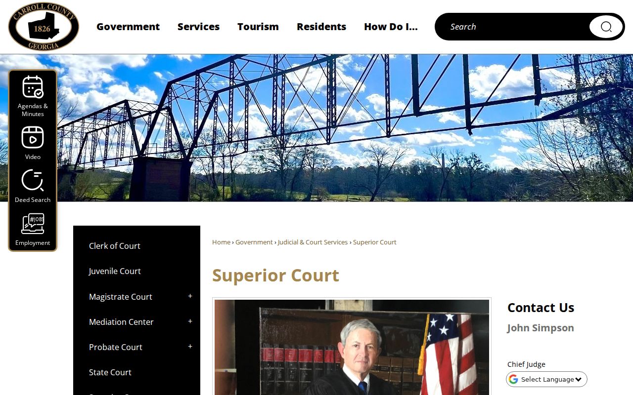
Keep that source with the parcel card so every transfer remains tied to its custodian.
Read Carrollton Permits by Address
Carrollton's licenses and permits channel publishes a route for permits issued in the current and prior years. Building, electrical, HVAC, plumbing, gas, and pool records may supply the work address, type, applicant or contractor, and dates. Community Development also publishes current planning and property-license information. These are property events, not a list of all occupants.
If the posted list is not enough, send the city open-records form to its published email. Name the department, address, record type, and date range. Ask first for the issued-permit list, then request full files for useful rows. This can limit staff search charges. The first 15 minutes are free; stated fees then apply for staff time, copies, building-plan pages, zoning verification, and postage.
The form gives a practical way to keep an address request narrow. Select the department most likely to hold the record, such as Codes Enforcement, Community Development, Engineering, Fire, Alcohol Licensing, Records, or Utility Billing. State the exact address, file type, and date span. A permit list is easier to price and review than every document tied to a long street. Once it arrives, use permit numbers and dates to request a small set of jackets, plans, or certificates. The form distinguishes ordinary copies from larger pages and building plans, which matters when a property file contains drawings.
Read permit evidence with the parcel card in view. An applicant may be a contractor, business, or agent and is not automatically the owner or resident. A certificate of occupancy establishes an approved use or completed step, not a roster. Code history can show a dated issue, but its facts and outcome must come from the record. Save the permit number, date, department, printed address, and retrieval date so the Carrollton search can be repeated.
Compare Carrollton Address Fields
The tax-roll mailing address can differ from the situs. The situs points to the parcel. Mailing shows where notices go and may be elsewhere. A different mailing address is a lead, not proof of who occupies either place. Homestead status may support owner occupancy but does not identify the full household.
A Carrollton postal label also does not prove city limits. Confirm municipal jurisdiction with parcel mapping before requesting city permits. This is vital along expanding corridors and subdivisions.
Keep separate notes for the parcel address, the tax-mail destination, and the wording used in each permit or deed. A normalized search copy can drop punctuation and standardize a suffix, while the source copy should preserve the text exactly as shown. That two-column habit prevents a useful broad search from overwriting the evidence. It also makes later review easier when Bankhead appears as a highway label, a directional term changes, or an apartment number occupies its own voter-file field. When two rows seem to describe the same place, compare parcel geometry and the legal description before combining them.
Address check. Use the map for jurisdiction, the situs for the land, and the mailing field only as a separate dated lead.
Filter Carrollton Voters by Street
Georgia My Voter Page confirms one registration through identifying inputs; it does not browse a street. The lawful street route is a Carroll County Elections paid Excel file. The 2024 form lists $65 for the entire municipality and $70 for the county. Rows may include voter name, residence, different mailing address, registration date, status, and last voting date.
Normalize the residence street before filtering. Preserve direction, apartment fields, and the file date. Georgia law bars commercial use. Protected addresses can be withheld. The file excludes phone numbers, full birth dates, Social Security numbers, email, and driver's-license numbers. Status is not proof of current presence because moves and list maintenance can lag.
Bridge Old Carrollton Street Labels
The Library of Congress holds four March 1900 Carrollton Sanborn sheets, showing footprints, construction, use, and street labels. UWG's Benjamin M. Long photographs document buildings from the 1920s through the 1960s. Together they help identify a structure when a deed uses a legal description or an old directory label differs from the modern situs.
Federal census schedules add household snapshots at ten-year points and are public through 1950 under the 72-year rule. Tax digests can help between those dates, while deeds follow legal ownership rather than each occupant. The layers answer different questions: maps place buildings, photographs show selected structures, census pages list households on one date, and instruments carry title. Align them by date before projecting a modern number backward.
No official citywide renumbering chronology was found, so do not invent one. Compare map, deed, tax digest, photograph, and abbreviation key. The Carrollton city directory collections handle the historical shelf in depth.
Limits of Carrollton Street Records
No public street directory proves every person at a Carrollton address. Assessments name owners, deeds document transfers, permits concern work, and voter files omit unregistered people. Reverse volumes reflect their publisher's method and can miss unlisted residents. An absence online does not prove that a person or record does not exist.
Driver records are restricted under federal law. Georgia Safe at Home protects participant addresses, while sealed and protected data stay outside ordinary results. Contact the actual custodian when a portal fails.
Lawful use. Use Carrollton address records only for lawful personal, civic, property, or family research. Never stalk, harass, intimidate, or harm anyone.